The Story
Explore Jasper National Park with National Geographic Maps
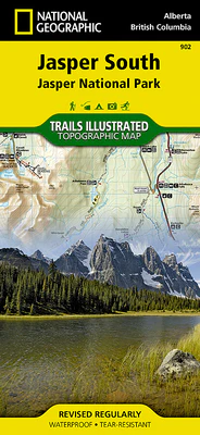
The largest park in the Canadian Rockies, Jasper National Park is a UNESCO World Heritage Site with breathtaking mountain scenery and bountiful recreational opportunities. Expertly researched and created in cooperation with Parks Canada and others, National Geographic's Trails Illustrated map of Jasper South provides outdoor enthusiasts unparalleled detail of the region. The map covers the park from the town of Jasper and the Victoria Cross Ranges in the north to its southern boundary and includes such popular points of interest as Athabasca and Sunwapta Falls, Maligne Canyon and Lake, Icefield Centre, and Medicine Lake.

Details & Craftsmanship
Every detail has been carefully considered to bring you the perfect product.
Description
Explore Jasper National Park with National Geographic Maps
The largest park in the Canadian Rockies, Jasper National Park is a UNESCO World Heritage Site with breathtaking mountain scenery and bountiful recreational opportunities. Expertly researched and created in cooperation with Parks Canada and others, National Geographic's Trails Illustrated map of Jasper South provides outdoor enthusiasts unparalleled detail of the region. The map covers the park from the town of Jasper and the Victoria Cross Ranges in the north to its southern boundary and includes such popular points of interest as Athabasca and Sunwapta Falls, Maligne Canyon and Lake, Icefield Centre, and Medicine Lake.